art-and-tours-berlin
Email: mvost@gmx.de
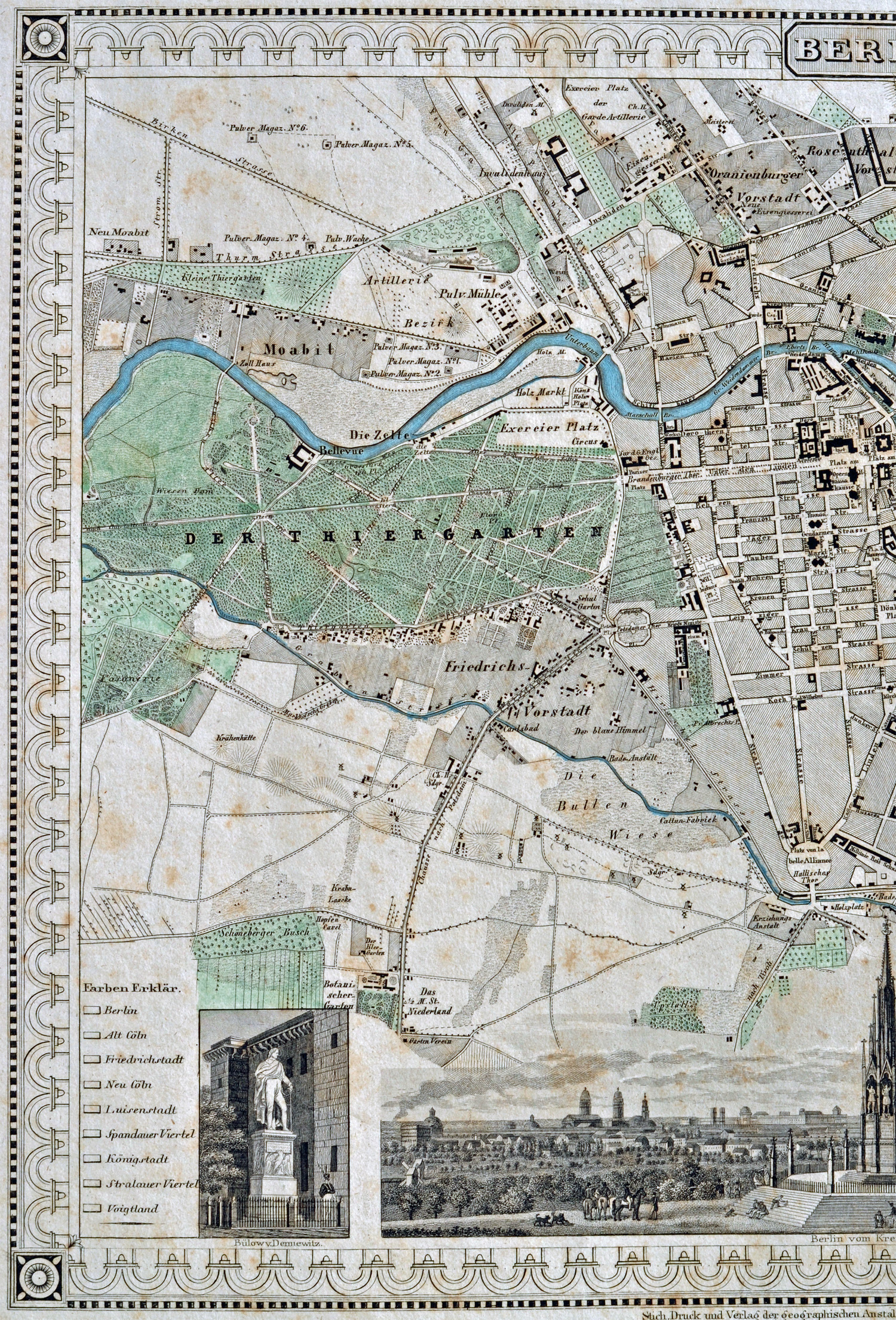
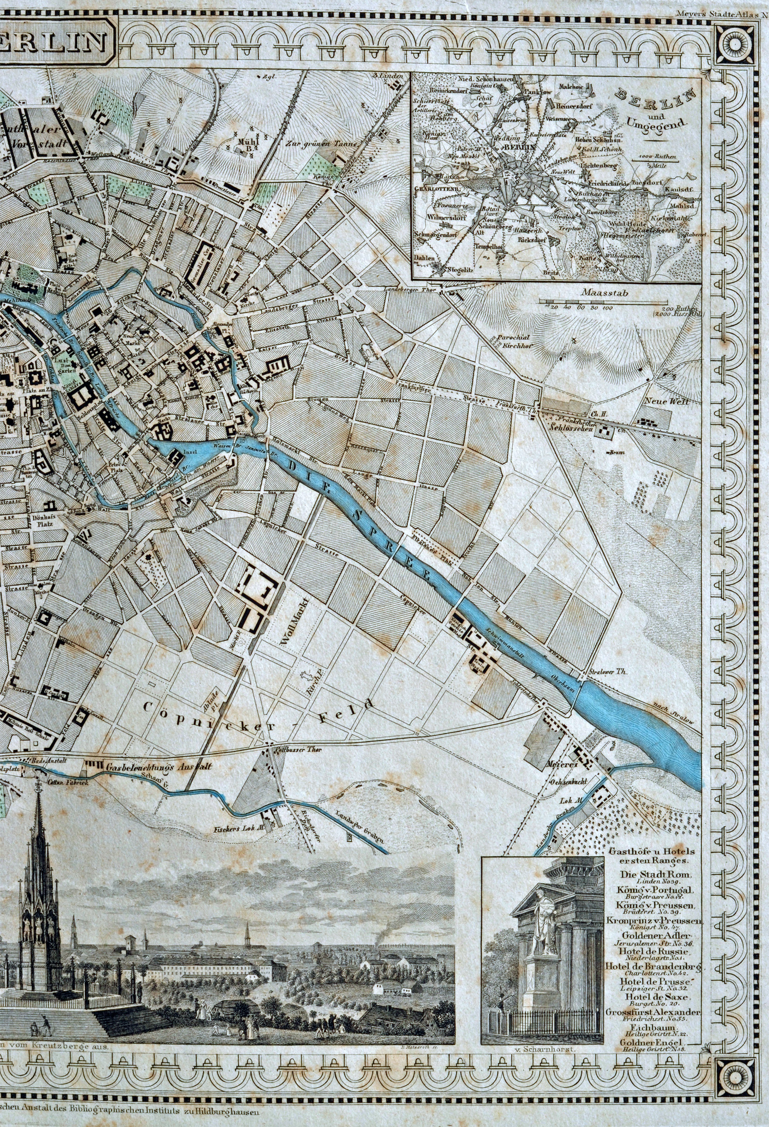
Berlin City Map 1832
(colored steel engraving by R. Metzeroth for Meyer's Städteatlas 1832, with engraved border, map size 25 x 33,5 cm; paper size 42 x 57,5 cm), Günther Schulz: Die Stadtpläne von Berlin 1652-1920, No. 340.
The city map is divided in two parts
1. part, left part ot the city map with the city parts: Schöneberg, Tiergarten, Moabit, Mitte ;
3. part, right part with the city parts: Mitte, Prenzlauer Berg, Friedrichshain, Treptow, Kreuzberg;